Sabah Al Mustaqbal

Topographic Survey

Home ⇒ Topographic Survey

Topographic Surveys in Dubai

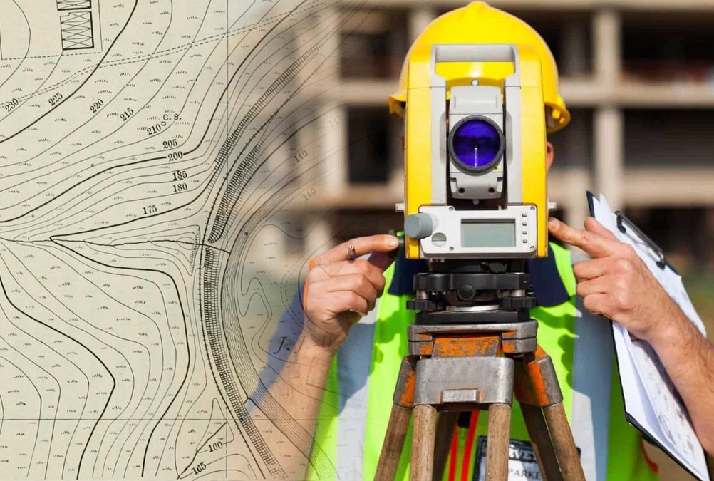
We provide accurate and professional topographic survey services in Dubai, using advanced equipment to capture detailed land measurements and site data. Our team delivers precise mapping, contour levels, and ground analysis for construction, planning, and development projects. Reliable, fast, and trusted surveying solutions for any project size. 

Our Topographic Survey services provide detailed, accurate, and precise mapping of land features for various projects. Whether you’re planning a construction project, landscaping, or infrastructure development, our expert team ensures you have the re …

Topographic Surveys in Dubai

We are proud to have a dedicated Green Building Materials and General Trading Division which focuses on the supply of eco-friendly and sustainable construction materials that meet modern green building requirements. Through innovation, quality craftsmanship, and professional excellence, SABA AL MUSTAQBAL continues to deliver projects that combine functionality, aesthetics, and environmental responsibility. Built on modern management, operational efficiency, and professional excellence, SABA AL MUSTAQBAL has successfully completed numerous projects across al ain Abu Dhabi UAE, earning a reputation for trust, performance, and customer satisfaction

Land Level & Boundary Topographic Surveys

We measure land elevations, slope, and boundary lines to create accurate maps required for land development, site planning, and construction layout. This ensures legal clarity and smooth project approvals.

Road & Infrastructure Topographic Surveys

We conduct high-precision surveys for highways, streets, bridges, and infrastructure developments. Our mapping includes road levels, curves, surrounding terrain, footpaths, and all essential elements to support urban planning.

Construction Site Topographic Surveys

Our team provides detailed surveys for construction zones, identifying man-made and natural features such as utilities, walls, drainage lines, and site obstructions. This helps engineers design safe and efficient structures.

Utility & Drainage Topographic Surveys

We map underground and above-ground utilities, including drainage systems, electrical lines, telecom cables, pipelines, and water networks. This reduces construction risks and prevents damage during excavation.

Get In Touch With Us!

Contact us today for fast support, professional guidance, and reliable service. Our team is ready to assist you with expert solutions tailored to your needs. Call, WhatsApp, or email us—we’re always here to help.

Call Now Button