
A survey is most useful when the project team agrees on the question before anyone visits the site. For a UAE construction project, a short scope review can prevent missing levels, unclear boundaries, or files that do not fit the design workflow. Use this checklist to brief a survey provider and review the deliverables—not as a substitute for the project’s authority or engineer requirements.
1. Define the decisions the survey must support
Start with the next decision: concept design, grading, access planning, setting out, drainage coordination, or an as-built check. Each calls for different coverage and detail. Share the latest site plan, available plot information, design stage, known constraints, and the intended users of the survey. Ask the surveyor to list assumptions and exclusions before mobilization.
2. Agree the survey limits and features
Mark the survey boundary on a plan and identify what must be captured within it. Depending on the brief, that may include visible structures, kerbs, road edges, walls, gates, surface features, spot levels, and changes in grade. Tell the team where tie-ins beyond the plot are needed. Do not assume that a boundary check, utility detection, or underground-service location is included in a topographic survey; ask for each service explicitly.
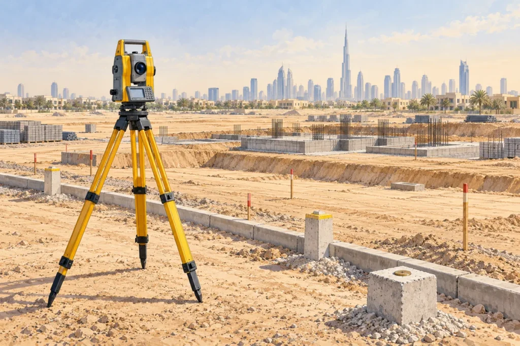
3. Confirm control, coordinates and vertical datum
Coordinate numbers are not self-explanatory. Ask which horizontal coordinate reference system and vertical datum will be used, how site control will be established, and how the survey will connect to project or authority control. Keep one agreed reference across survey, design, and construction files. A datum is the reference framework behind coordinate positions and heights; see the NOAA National Geodetic Survey explanation of datums and reference frames for the general concept. This is background, not a UAE project specification—confirm the required local reference with the client and relevant authority.
4. Specify accuracy and level of detail by use
Rather than asking for “high accuracy,” state what the information will be used for and ask the provider to propose suitable measurement tolerances, point density, and breakline treatment. Design grading may need more terrain detail than an early feasibility review. Ask how observations are checked and how inaccessible or obstructed areas will be identified in the deliverable.
5. Name the file formats and drawing conventions
List the formats your team can actually use—such as DWG, DXF, LandXML, or georeferenced PDF—and the coordinate units, layer naming, feature codes, and drawing scale you expect. Request a sample or confirm the conventions before fieldwork. Make sure the same coordinate reference and units are stated in the drawing notes and any point files.
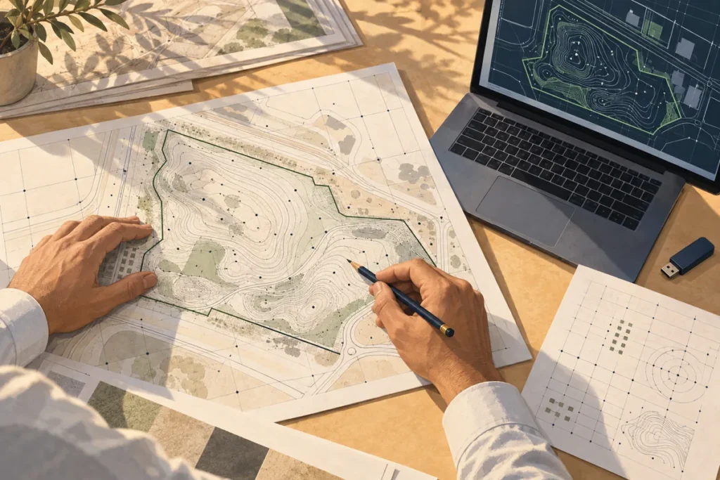
6. Check access, timing and site constraints
Agree who arranges access, induction, escorts, work windows, and any permits or third-party clearances needed for that specific site. Share active-work areas, traffic routes, restricted zones, and safety requirements in advance. The project team should confirm local approval requirements for the location and scope rather than relying on a generic checklist.
7. Review the handover before accepting it
At receipt, check that the files open, the survey boundary and date are clear, units and references are declared, requested features are present, and exclusions or inaccessible areas are recorded. Compare a few key levels or control points with known project information where available. Raise gaps while the field context is fresh.
What to include in your survey brief
- Project location, boundary plan and purpose of the survey
- Required features, tie-ins, and any separate utility or boundary scope
- Coordinate reference, vertical datum and control requirements to be confirmed
- Intended accuracy, density and deliverable formats
- Access arrangements, site constraints, review contact and handover date
For a topographic or construction survey, Sabah Al Mustaqbal’s topographic survey service page outlines its survey support. See also its land surveying services in Abu Dhabi. Share the project brief so the required scope and deliverables can be clarified before work starts.
Plan the scope before the site visit
A clear brief ties fieldwork to the decisions the design and construction teams must make. Confirm the boundary, reference framework, detail, access, and handover format up front; then review the received files against that list. For project-specific guidance, contact Sabah Al Mustaqbal.
Construction site survey FAQs
Is a topographic survey the same as a boundary survey?
No. They answer different questions. A topographic survey records selected visible features and levels; a boundary survey addresses property limits under its own defined scope. Confirm which service and evidence the project requires.
Should every construction survey use GPS coordinates?
Not automatically. The suitable method and reference depend on site conditions, project control, accuracy needs, and client or authority requirements. Agree the reference system and control approach before fieldwork.
Does a site survey locate underground utilities?
Only when that work is specifically included. A surface or topographic survey should not be assumed to detect buried services. Request records review or field detection as a separately defined scope where needed.
What should I send when requesting a survey quotation?
Send the location and boundary plan, intended use, required features, formats, reference information, access constraints and target timing. Ask the provider to state assumptions, exclusions and proposed deliverables.
References: Abu Dhabi Department of Municipalities and Transport (official municipal services portal; verify project-specific local requirements there) and the NOAA National Geodetic Survey (general datum/reference-frame background).
